- Status Complete
- Partners Irish Aid, ICRAF
Project Location: Gergera, Tigré, Ethiopia
Project type: Afforestation/Reforestation
Case of Study: Tree cover, Land use and Biomass Carbon Change (2000-2019)
Project Overview
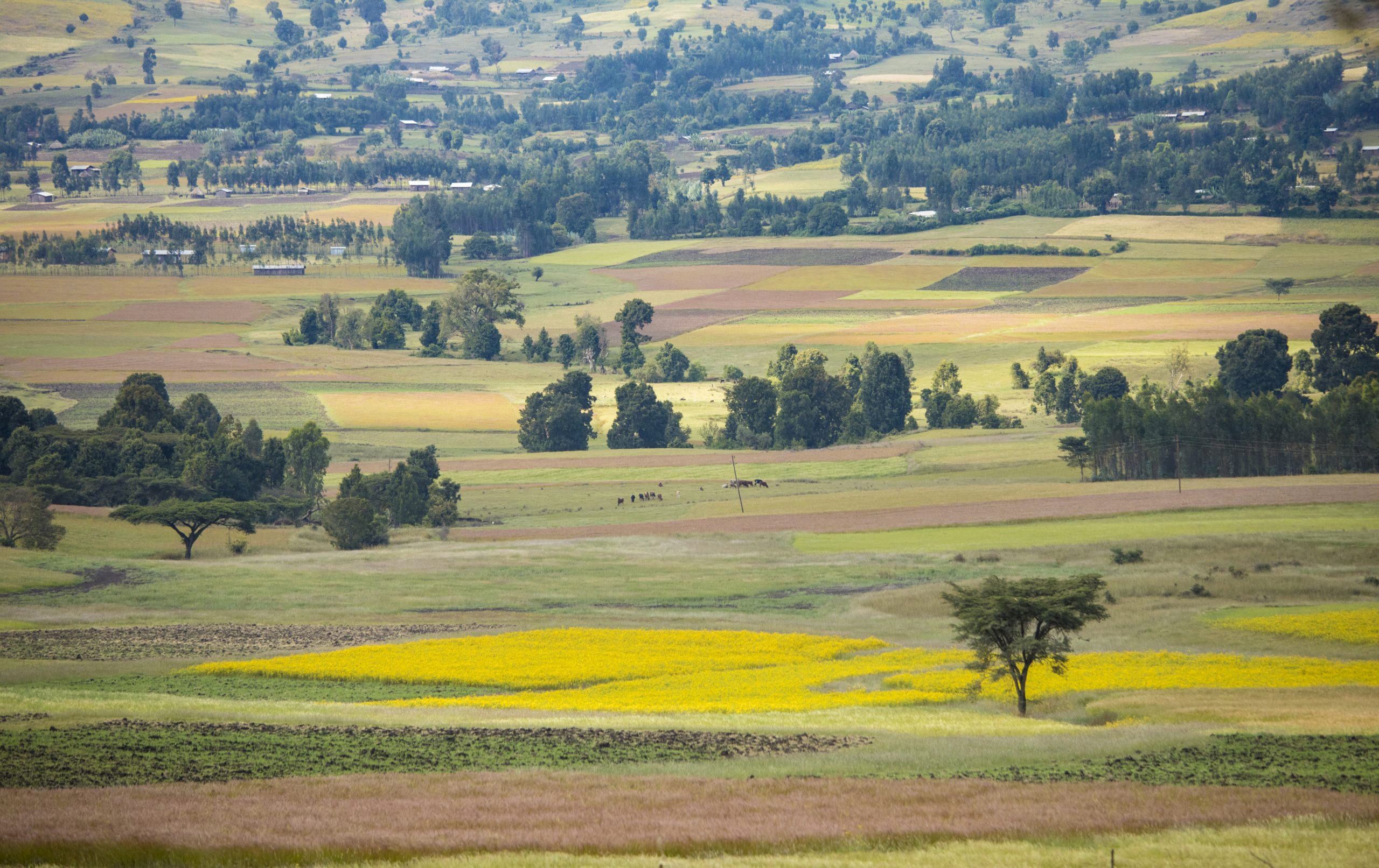
Gergera project is an initiative that was launched by the support of the Irish Aid to enhance integrated watershed management with climate smart initiative in Tigray, Northern Ethiopia to enhance economic opportunities and resilience. With the help of ICRAF, there were a series of agroforestry interventions that followed in achieving the above initiative among them afforestation and natural regeneration of trees in the rangelands, forested areas and the croplands since the year 1998.
The community with the technical guidance of ICRAF have thus performed a series of interventions linked to restoring the state of the land that opens leeway for sustainability and resilience in food production. This report represents some of the change in the biophysical state in this watershed as a result of these activities.
Methodology
We have investigated the key sustainability indicators or drivers of change such as tree cover, land cover and biomass carbon to directly relate to the impact achieved from these intervention activities. We have thus analyzed the changes in the above factors between the year 2000 and 2019 when the intervention practices had been ongoing. We have used the satellite imagery of the watershed for the two study durations and assessed both the present images (2019) as well as the historical images from the year 2000. We have done annotations on the very high resolution images from the Google Earth Pro and ancillary data sets mostly Sentinel, Landsat and MODIS to collect the data. We have done a comprehensive analysis using machine learning algorithms on Google Earth Engine API for additional interpretation of this data. In result we have generated tree cover, shrub/herbaceous cover and land use maps for the two timelines to represent the finding, we also did statistical analysis of the dataset.
Our analysis has revealed tremendous increase in tree cover by an aggregate of 9% in all the land cover classes with highest contributions from tree cover seen as a result of steadfastly expanding forest areas and bushlands. We have also quantified the increase in biomass carbon using our tree cover to carbon stock algorithms and noticed an increase of up to 28tC/Ha in all land uses between the year 2000 and 2019. This paper has outlined some of these results and interpretations and also explained the methodology used in the analysis.

We have conducted the analysis twofold: with regards to change in tree cover, shrub cover and land cover. The second section of the analysis has involved the use of the results in first analysis into carbon quantification analysis. We then converted the carbon stocks for carbon dioxide emission sequestered equivalent to obtain to 86, 468. 54 tCO2eq in the 20 year duration. This translates to average of 104 tCO2eq equivalent sequestered per hectare in the watershed.

