A cutting-edge climate technology
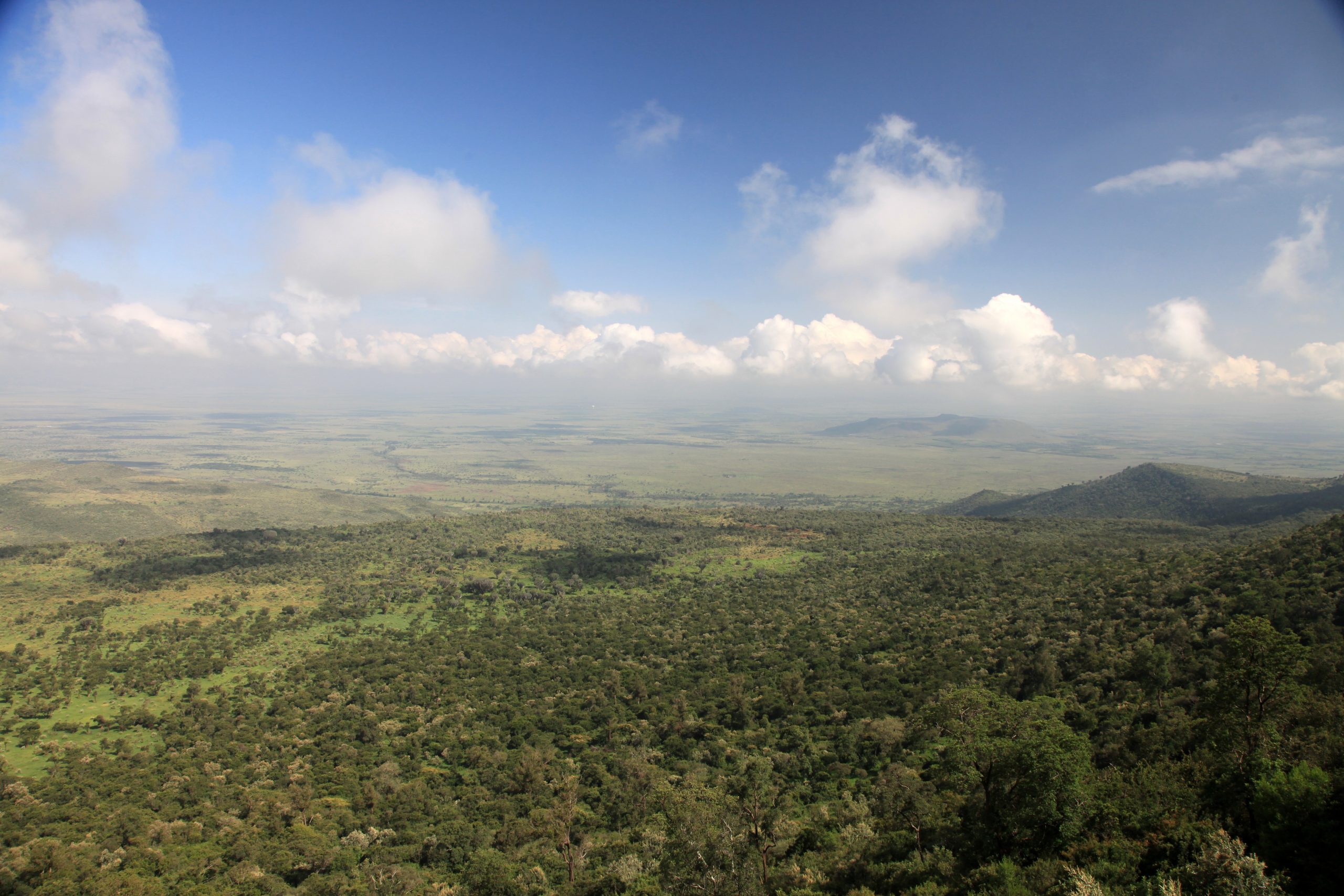
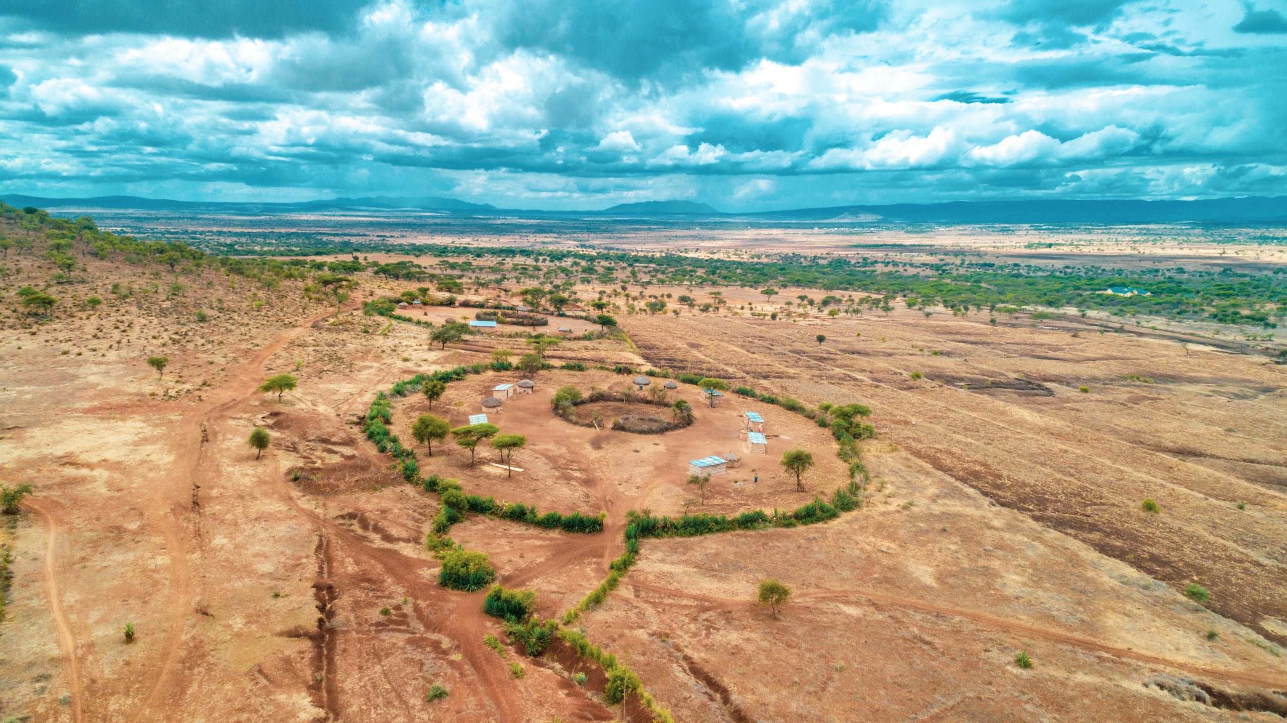
REGID Carbon accompanies iNGOs, private sector, development agencies and governments in environmental stewardship through landscape carbon monitoring. We have designed and developed a cutting-edge global carbon technology with capability of tracking carbon emissions reductions on landscapes at a precision of 20cm to 50cm. The technology reduces unit monitoring costs by a 70% margin in comparison to the conventional methods of landscape carbon measurement.
The technology is applicable in biomass carbon measurement in above and below ground in Afforestation, Reforestation and Revegetation, Natural Regeneration, REDD+ and Blue Carbon programs:
√ Change in biomass carbon accumulation on landscapes overtime.
√ Development of targets for restoration on carbon accounting in restoration program design
√ Quantification of carbon benefits for carbon credits programs.
The Methodology
The technology was developed out from collation of diverse carbon quantification publications and journals by IPCC, iNGOs and research institutions.
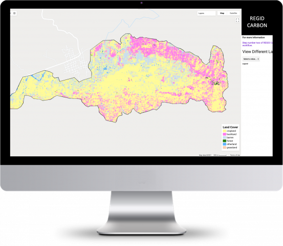
The methodology uses augmented visual interpretation and machine learning to generate its activity data. This data is aggregated in specific land cover clusters in the analysis.
Each of the cluster datasets are then fed into user-friendly generated allometric equations derived from IPCC Tier 1 and equations from various scientific publications in Tier 2 and 3 – country and project location specific equations. The Tier 2 equations are built on crown cover datasets that are location specific and tailored to agro-ecological zones.
As such it is a proxy of earth observation tree monitoring from freely available visual annotation of very high resolution images on Google Earth augmented with ancillary data on Earth Engine platform – Sentinel and Landsat.
The resulting data is analyzed and applied to our methodology of carbon accounting chronologically. Our models are developed on open source platforms and they can be easily deciphered by non-technical audience.